Geologic Mapping and Terrain Analysis
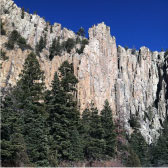
JSAI principals and senior level staff members have combined experience of more than 128 years with geologic mapping, and several senior staff members have advanced degrees in structural geology. We prepare hydrogeologic cross-sections to better understand the subsurface for projects related to groundwater development, mining hydrology, and environmental assessment.
Hydrogeologic Conceptual Models
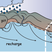
Sound hydrogeologic conceptual models are the foundations for numerical models of groundwater flow, vadose zone processes, and contaminant transport. JSAI specializes in development of hydrogeologic conceptual models and water balances through aquifer characterization, identification of areas of inflow and outflow for the aquifer system, and quantification of aquifer recharge and discharge based on analysis of streamflow data, climatological data, geographical data, pumping records, aerial photographs and remote sensing data. JSAI has developed models that evaluate the interaction between surface and groundwater under a wide variety of hydrogeologic conditions.
Well Log Analysis
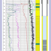
JSAI analyzes lithologic logs, core samples, and geophysical logs. We have performed well log analysis for over a thousand wells and boreholes, including production and monitoring wells, large-capacity water supply wells, natural resource exploration boreholes, and environmental assessment boreholes. Our field services staff have extensive training in the logging and evaluation of drill cuttings and core samples in the field.
Fracture Analysis
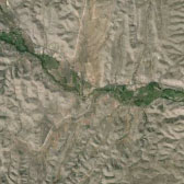
JSAI uses aerial photographs and remote sensing data to perform fracture and lineament analysis for projects related to groundwater development and mining hydrology.


